Do you ever need to just go for a drive?
Just hop in the car and go! That's the best way I can describe the planning for this California Road Trip. I've had several people asking me about California National Parks and I previously had only visited 1 out of the 9. Combined with the feeling like I needed some alone time behind-the-wheel. You know the kind, windows down, radio up, hair blowing in the wind, zero cares? My plan was to see 4 parks (Yosemite, Sequoia, Kings Canyon, and Pinnacles), and I also wanted to drive a portion of the coastline. I had thoroughly enjoyed the Pacific Northwest area and I wanted to drive the Big Sur area. And, off I went!
My second goal of the trip was to expend the least amount of dollars as possible. Lodging became mostly a glamping situation mixed with a stay three, get one free Wyndham promotion. My car rental was a small SUV with decent price and good mpg. It did NOT cover GAS, unfortunately, which ended up being my biggest expense. Ha! I'm joking about gas being covered with a rental, it never is. But I'm not joking about California gas prices which ranged from $5.49 - $7.89 per gallon.
Yosemite National Park
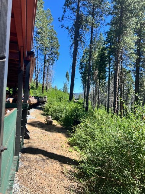
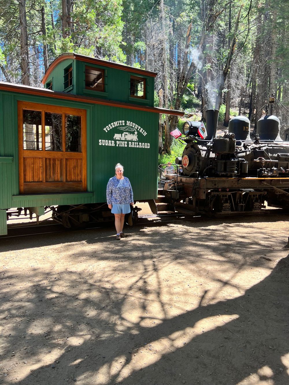
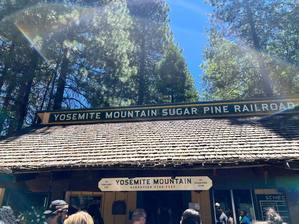
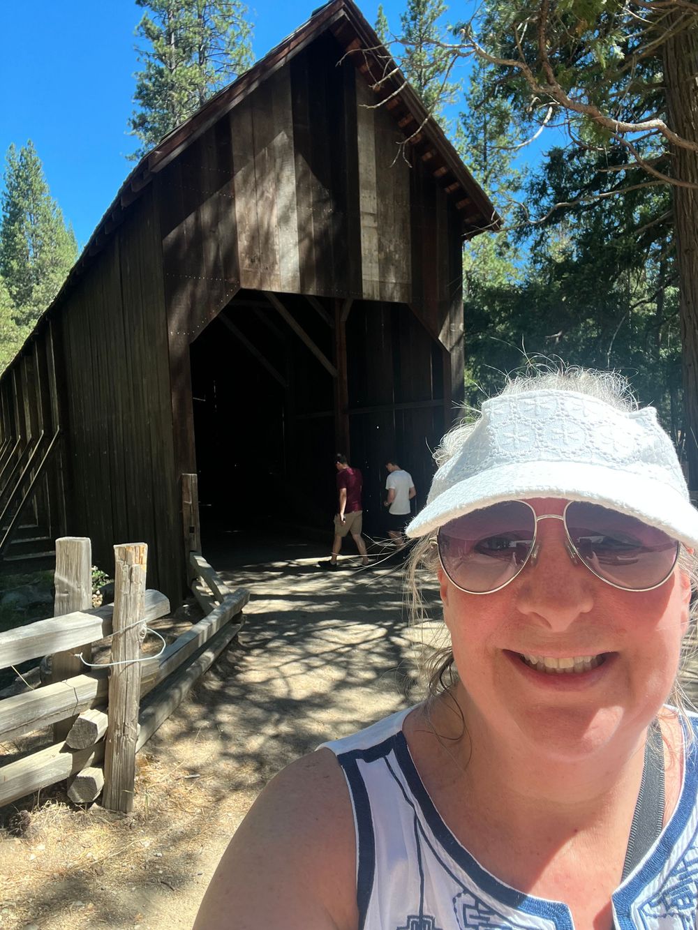
My plan was to avoid weekend crowds and visit on Thursday and Friday, and exit the park on Saturday. My home-base was Fresno, and I drove North from the city to get into the Sequoia National Forest and then into the Park boundary. The first stop was the Yosemite Mountain Sugar Pine Rail Road (LINK). The Yosemite Mountain Sugar Pine Railroad is a joyride into history where powerful steam locomotives once hauled massive log trains through the Sierra Mountains, where mighty lumberjacks felled big timber, and flumes carried lumber to the distant valley below. The Sierra National Forest provides the backdrop for this narrow-gauge journey back in time. The railroad offers train rides, food service, gold panning, and logging museum for those with a passion for local history. Yes, it's geared a little bit towards kids, but when it comes to trains, I seem to morph back to being a kid again. The staff were some of the nicest people of the entire trip! I encourage everyone to experience the historic steam locomotive train ride on this narrow gauge, cog-wheel line if and when you're in the area. It's located just 10 miles south of the Southern Yosemite Entrance on Hwy. 41.
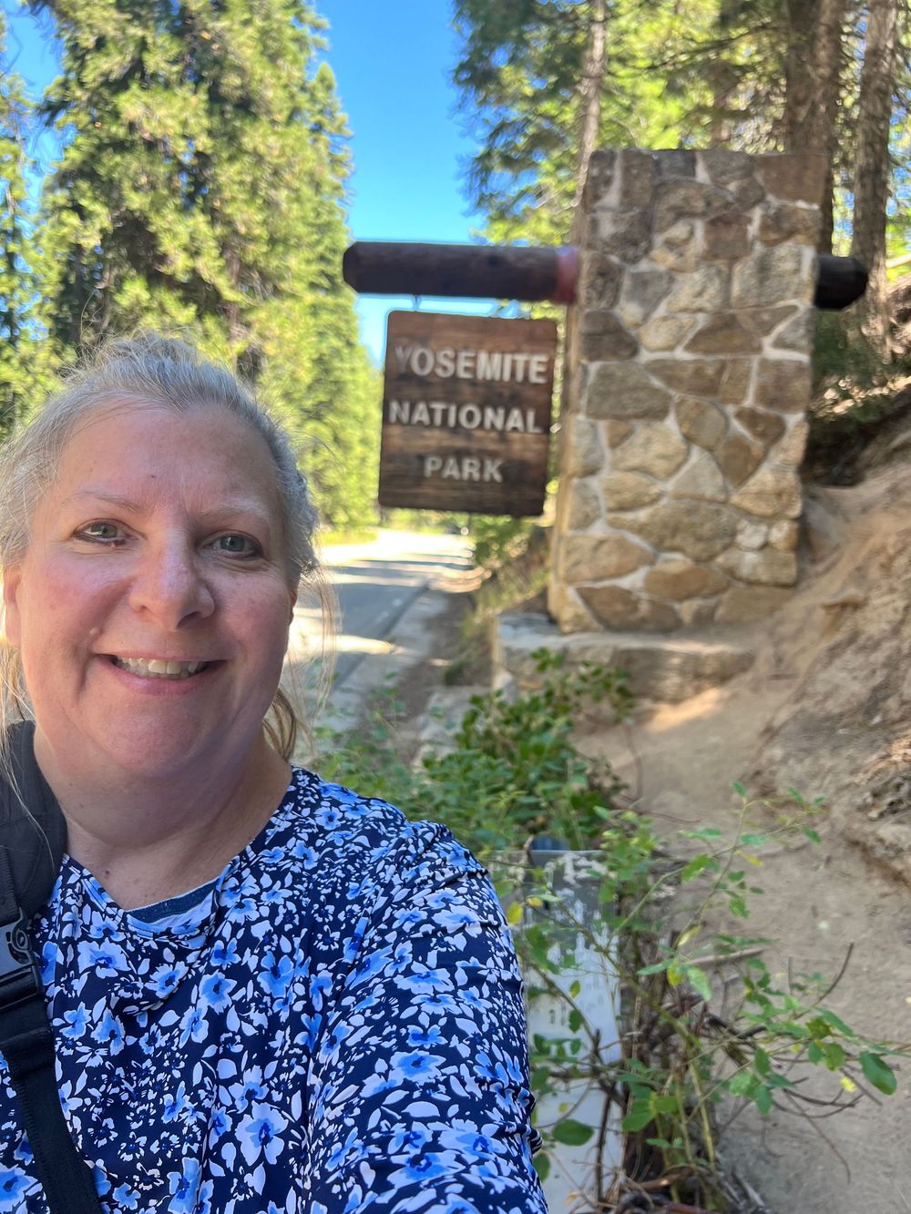
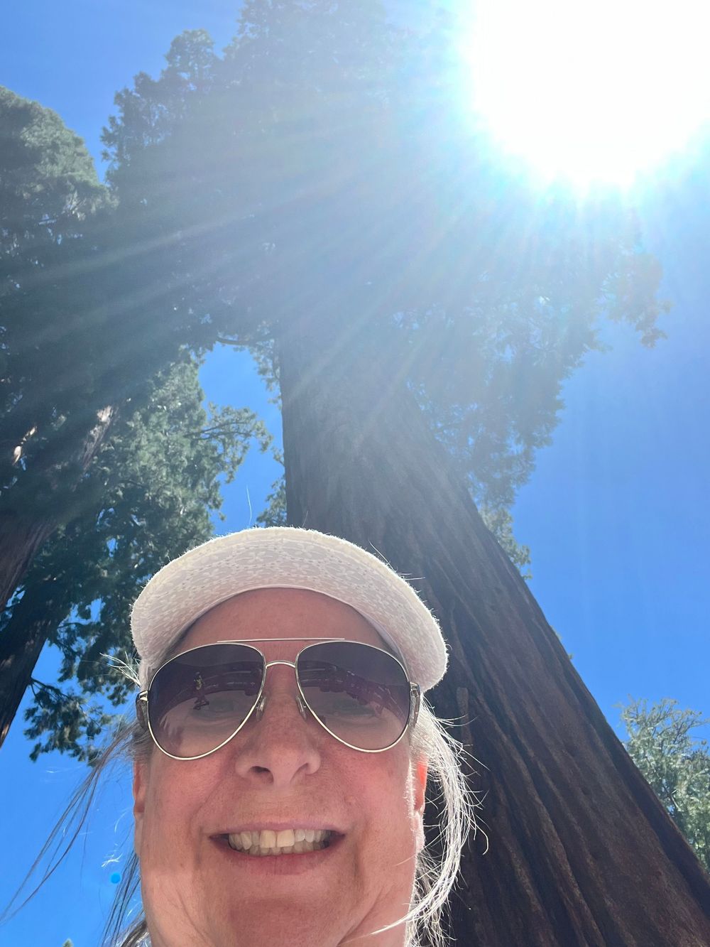
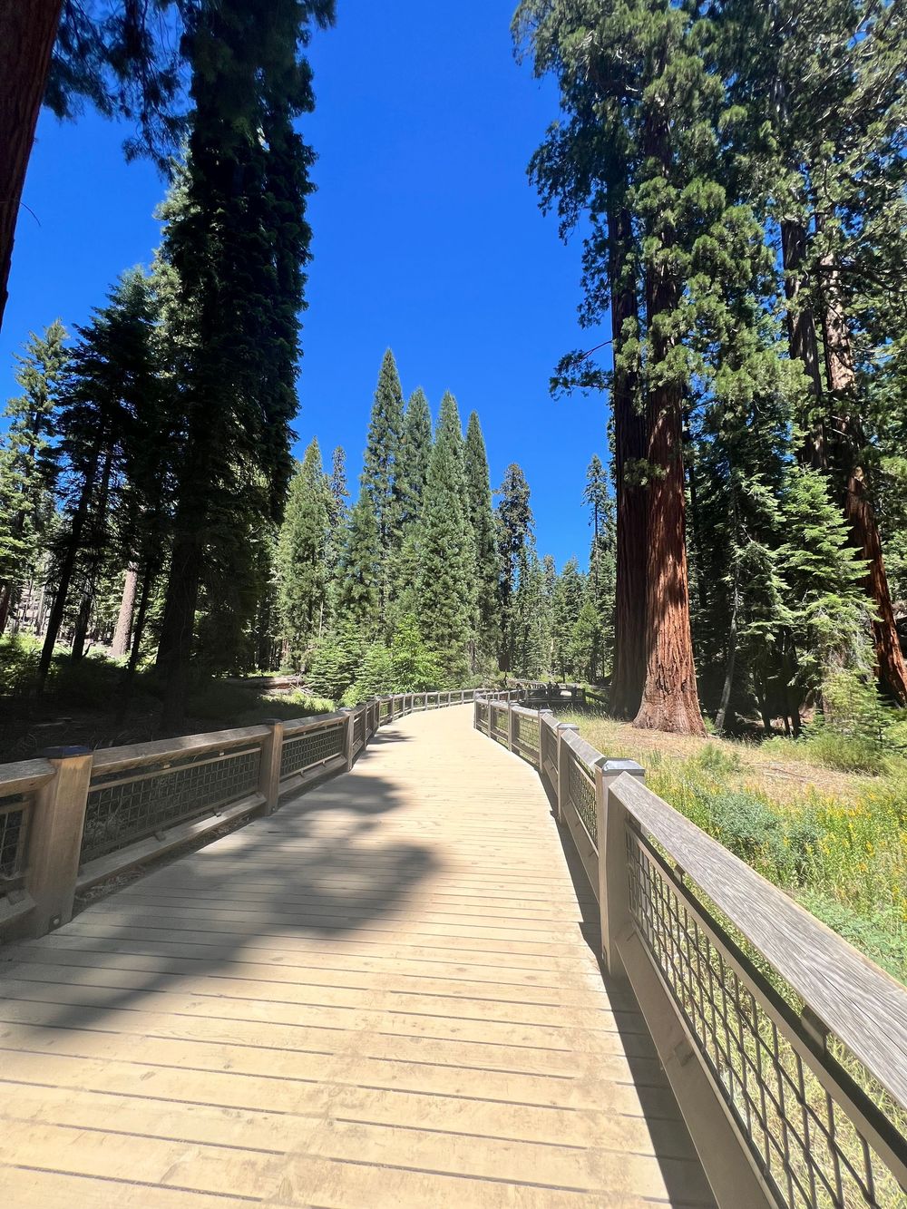
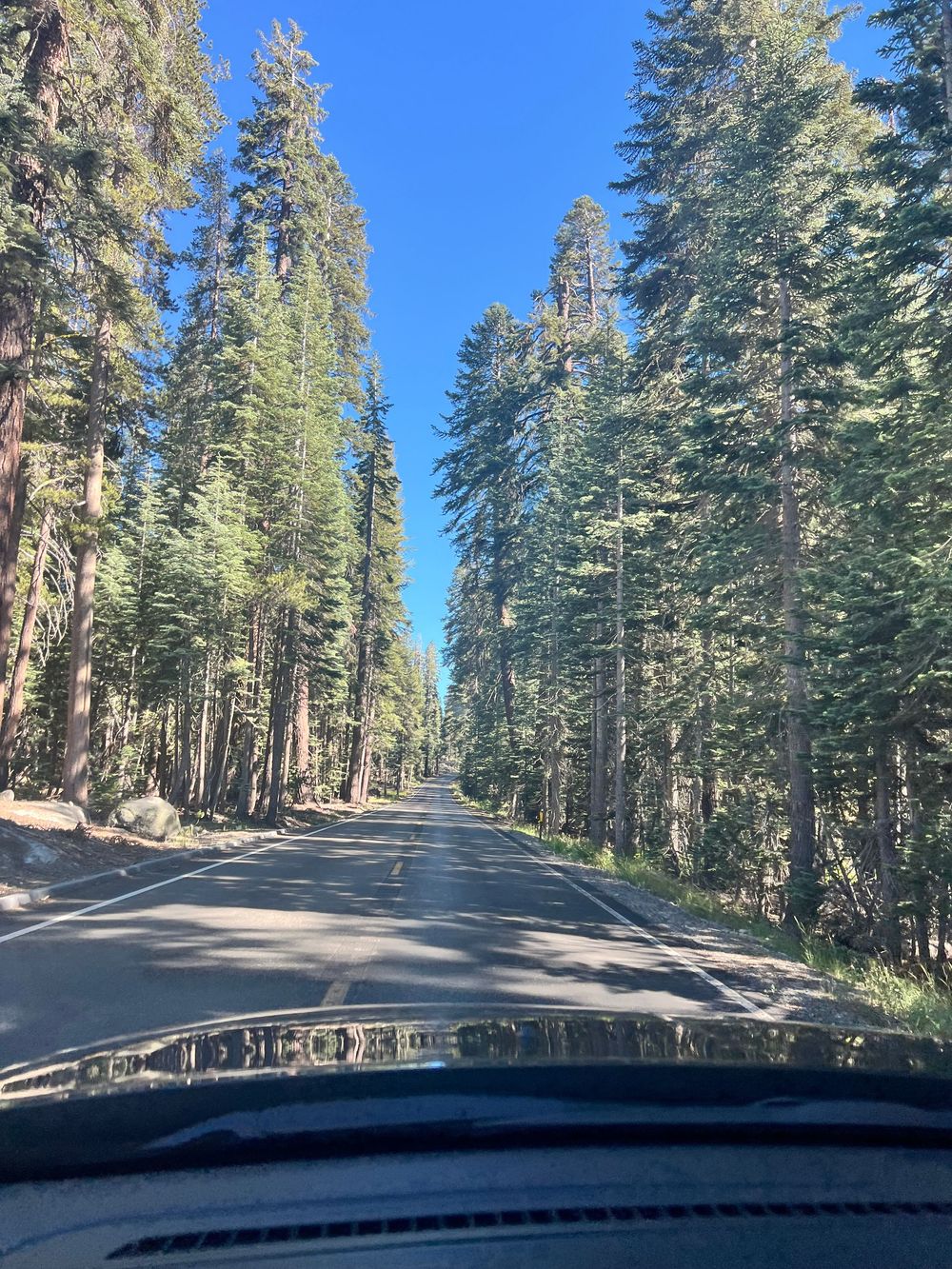
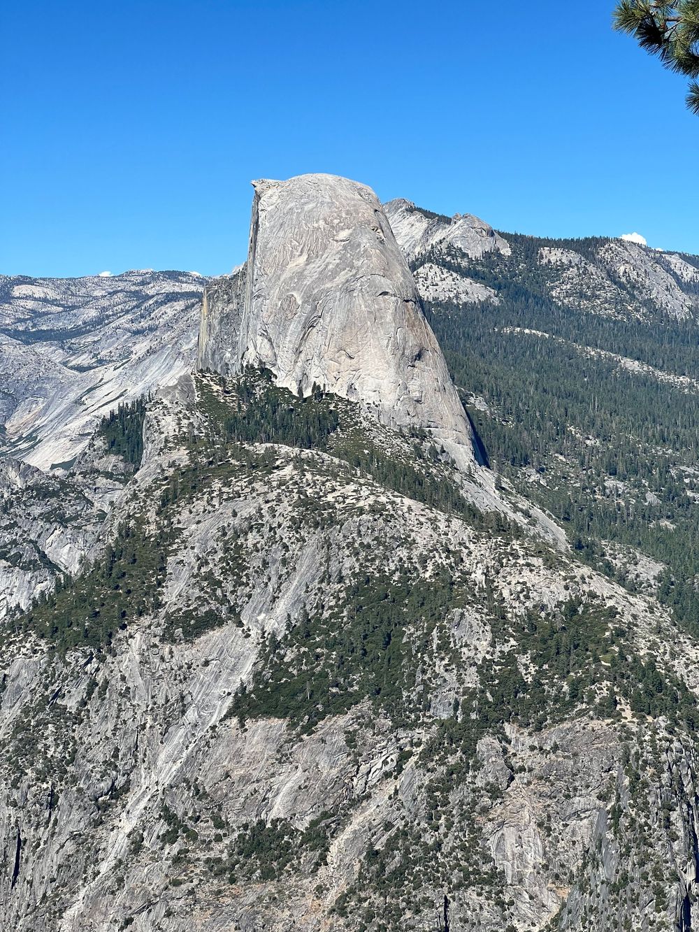
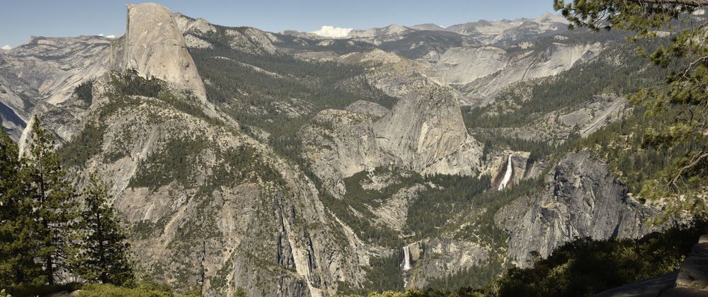
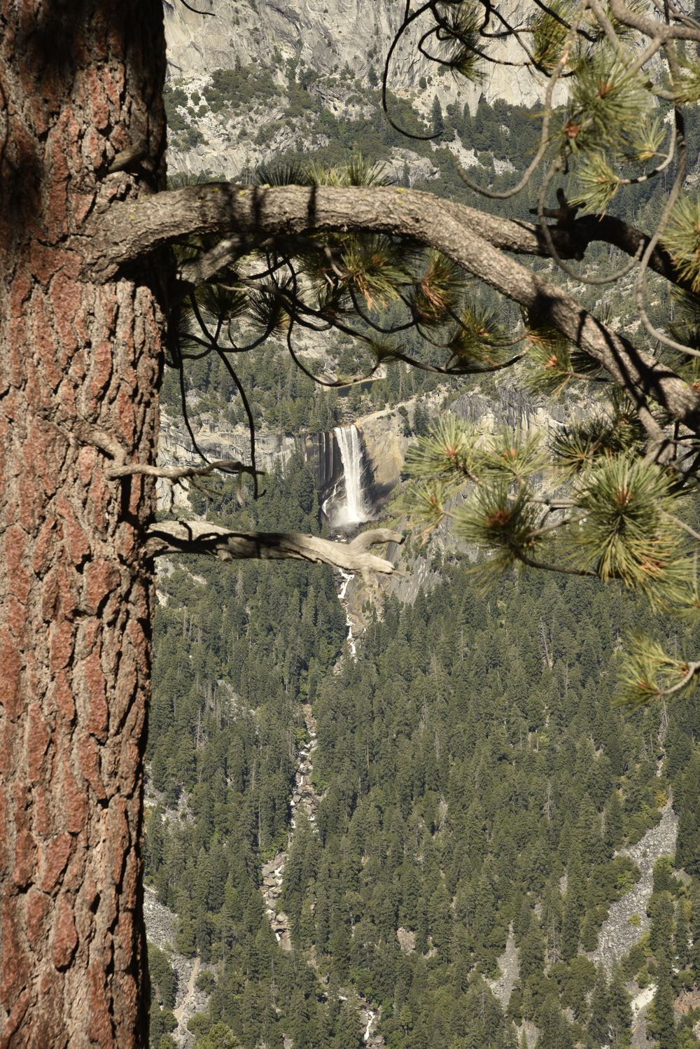
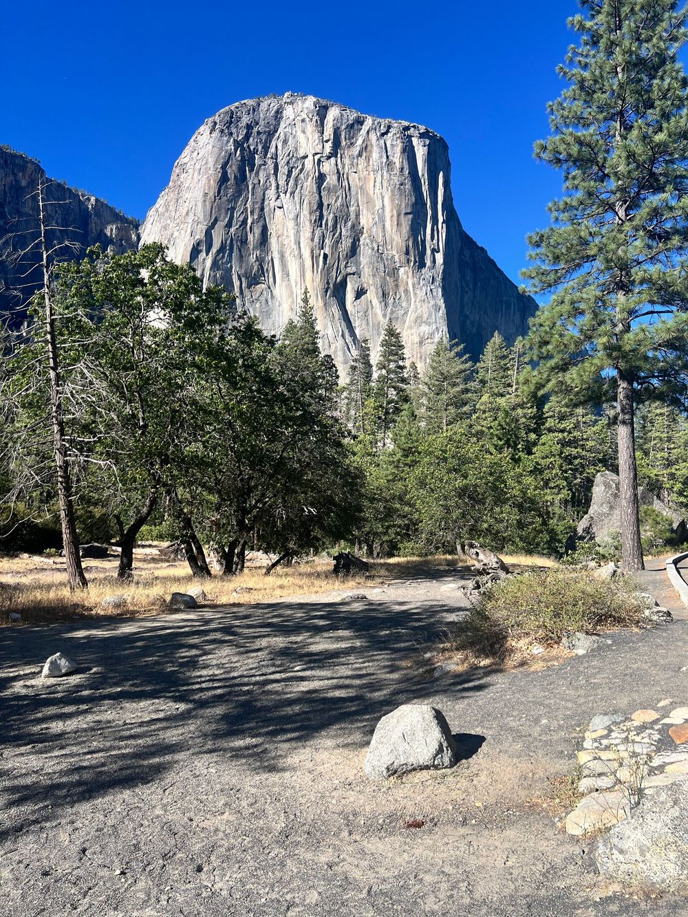
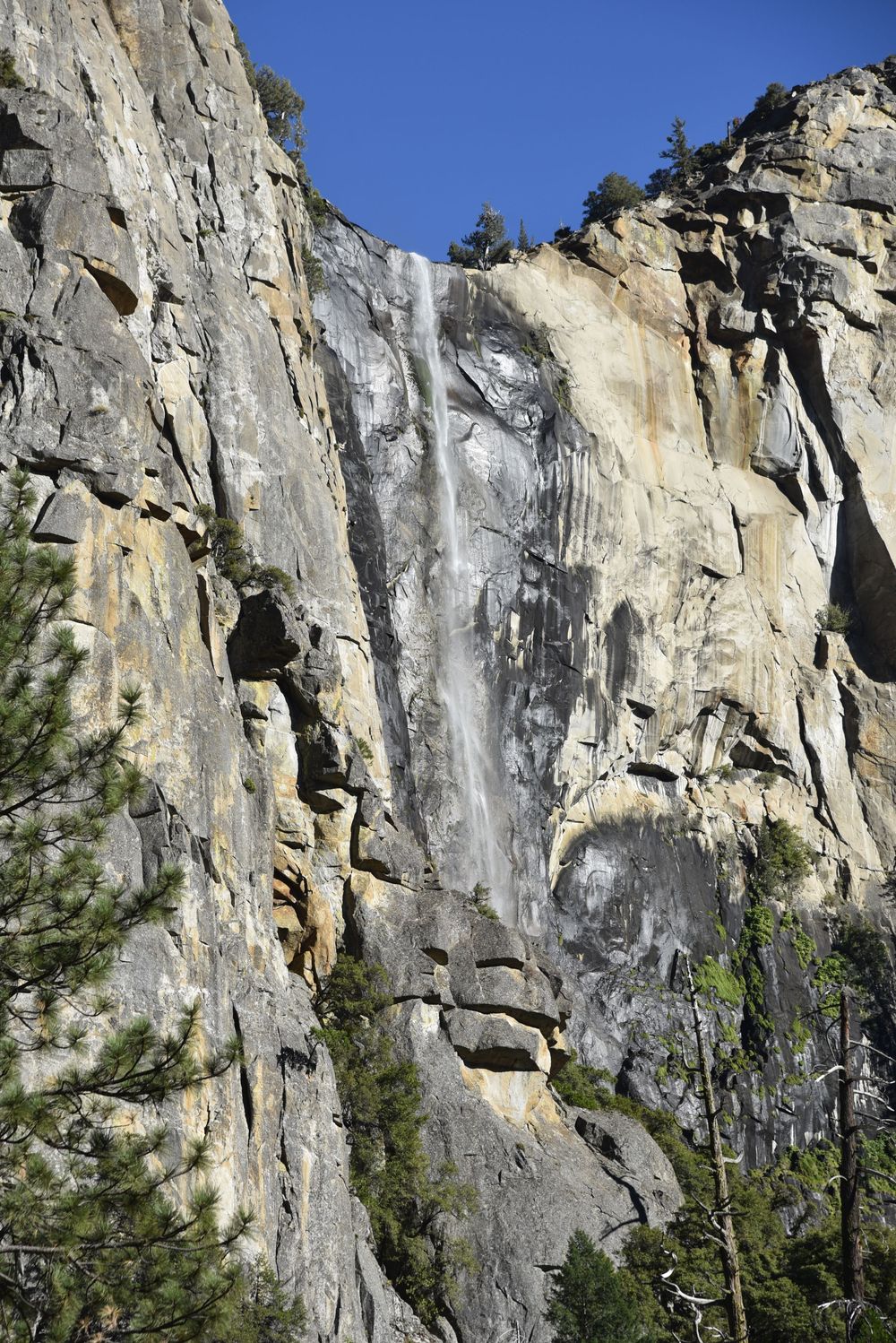
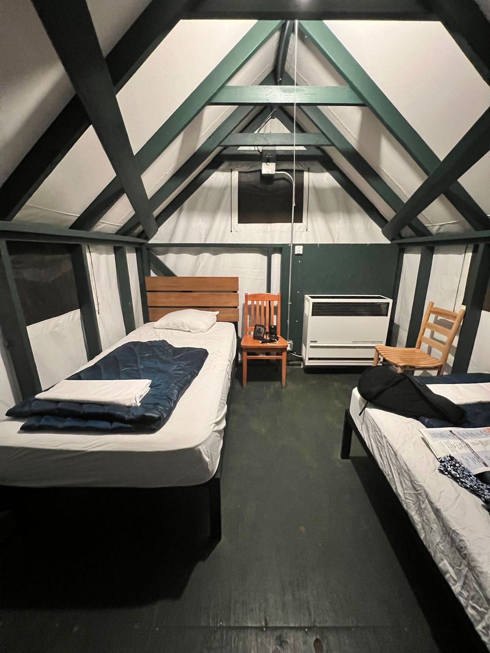
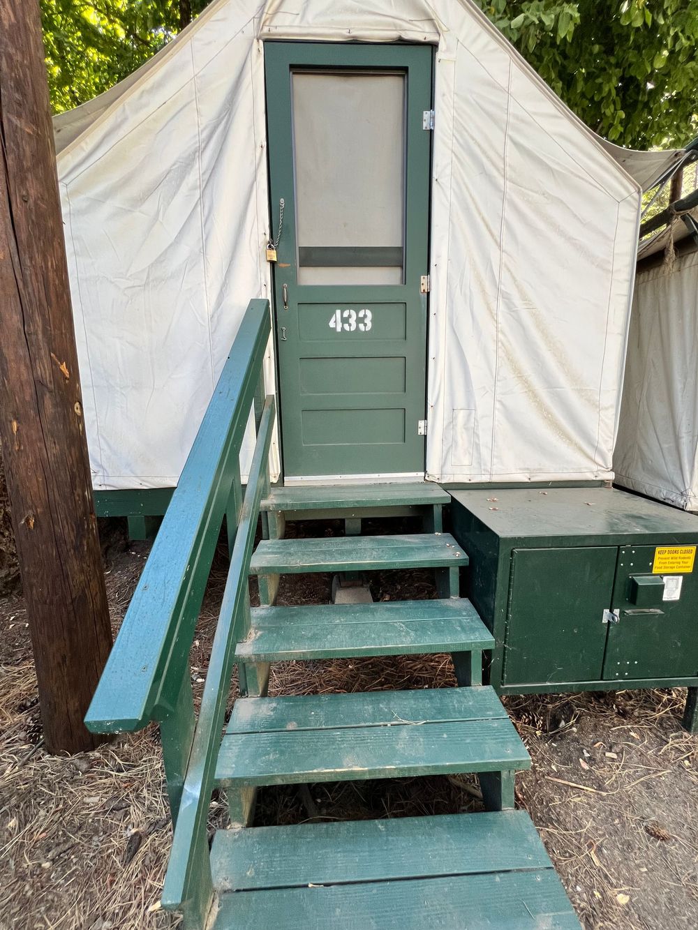
On my way through Yosemite, I stopped at Glacier Point and caught my first views of Half Dome and the Yosemite Upper and Lower Falls. This is a good location for sunrise, but my timing was off to be here during sunrise/sunset. Driving into Yosemite Valley was slow due to traffic and I rate it light on the white-knuckle scale. If you keep reading, you'll understand why I label the white-knuckle level...lol. I visited Mariposa Grove and a couple of the side spurs. Mariposa Grove requires visitors to take a short shuttle (with narration) up to the Grove. You pass by the Giant Sequoia trees, but you can't actually touch them or photograph them by how the park has this set-up. There is one smaller Giant Sequoia that is adjacent to the bus terminal and more tall pine varieties (Ponderosa Pines mostly) along the paved loop trail. Mariposa has a trail from the lower parking area that takes you to the popular tunnel tree with a 1 mile or so hike. Leaving here, I continued up the mountain towards Yosemite Valley. The main features of Yosemite Valley like Tunnel View and Bridal Veil Falls had full parking lots so I skipped them. Once into the valley floor I parked under El Capitan and could see a faint waterfall from Horsetail Falls (this is the one that lights up orange like a fire-fall in late February). On the opposite wall was Ribbon Falls. The park has a 15-mile bike/walking path and bike rentals near the Visitor's Center at Curry Village. My overnight was a tent in the Curry Village area. I knew I would be in a canvas tent on a cot, but everything else was unknown. For starters, I lucked out and found an open parking space adjacent to my tent (a miracle in itself). I didn't expect the tents to be so close together and could hear snoring at various points in the night. I liked the 10p-7a quiet time. There was a bear-proof food box outside the tent door and all food and beauty products had to be stored there at all times. I was good with all the rules, but the middle-of-the-night pee routine created somewhat of a challenge. The bath house (toilet) was a good 3 minute walk away - in pitch black darkness and in bear country. I survived it, but will keep those giggles to myself. Curry Village had several restaurant options like a cafeteria style option, a quick-grab sandwich and basic needs store, a small bite order window (think tacos, grilled sandwiches, etc. and the most popular option was the pizza deck. The pizza option had the longest lines and wait times. There was also a WiFi area, a pool, and even some hard-sided cabin and lodge options (pricing ranged from $120 - $1,200 per night). I would consider staying here again, but maybe in the off season when there is less people. It was pretty crowded (fully sold out), and the clientele seemed to mostly be hikers (twenty/thirty somethings mixed with families.) I recommend the Mist Trail, hiking to Lower Yosemite Falls, and if you have time the Hetchy Hetchy trail in the northern area of the park. One would need about 3-5 days inside the park to do it justice.
Yosemite - Toulumne Meadows
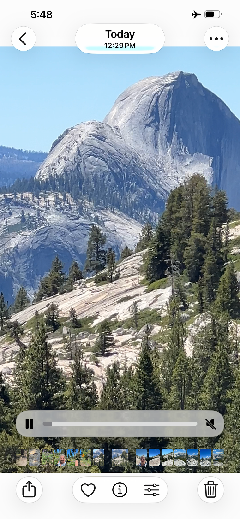
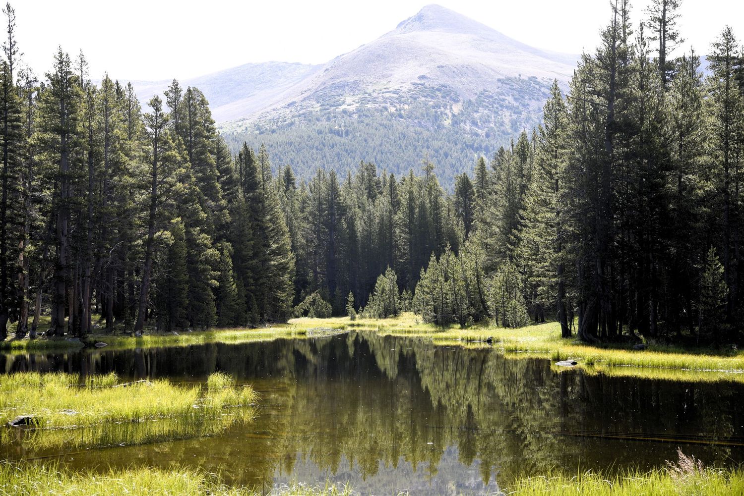
I left Curry Village in the morning and headed East towards Toulumne Meadows. This came with a beautiful drive with a moderate white-knuckle drive through the mountains until it leveled out in the meadows. It was hot and weather warnings for heat related illnesses were everywhere. I stopped multiple times to marvel at the wildflowers! Multiple varieties were in full bloom and speckled the roadsides and open meadows. I also came upon a mountain lake that I could not ignore. I swam in the cold water until my legs were numb then fell asleep in the warm sunshine. Swimming here might be my trip highlight! You can see the blue lake in the photo below. It was a lot bigger than what it looks like from up top at the Olmstead overlook. Side thought: when I say Olmstead, it is Frederick Law Olmstead that was an active architect for Yosemite - and also for Biltmore Estate in my home town of Asheville, NC. This man really got around 120+ years ago - incredible pioneer! To travel that great a distance before airplanes seems amazing.
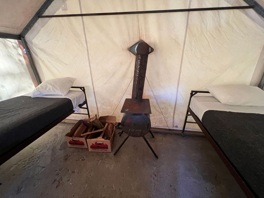
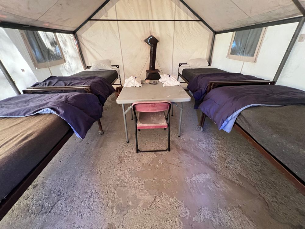
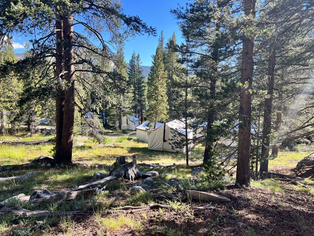
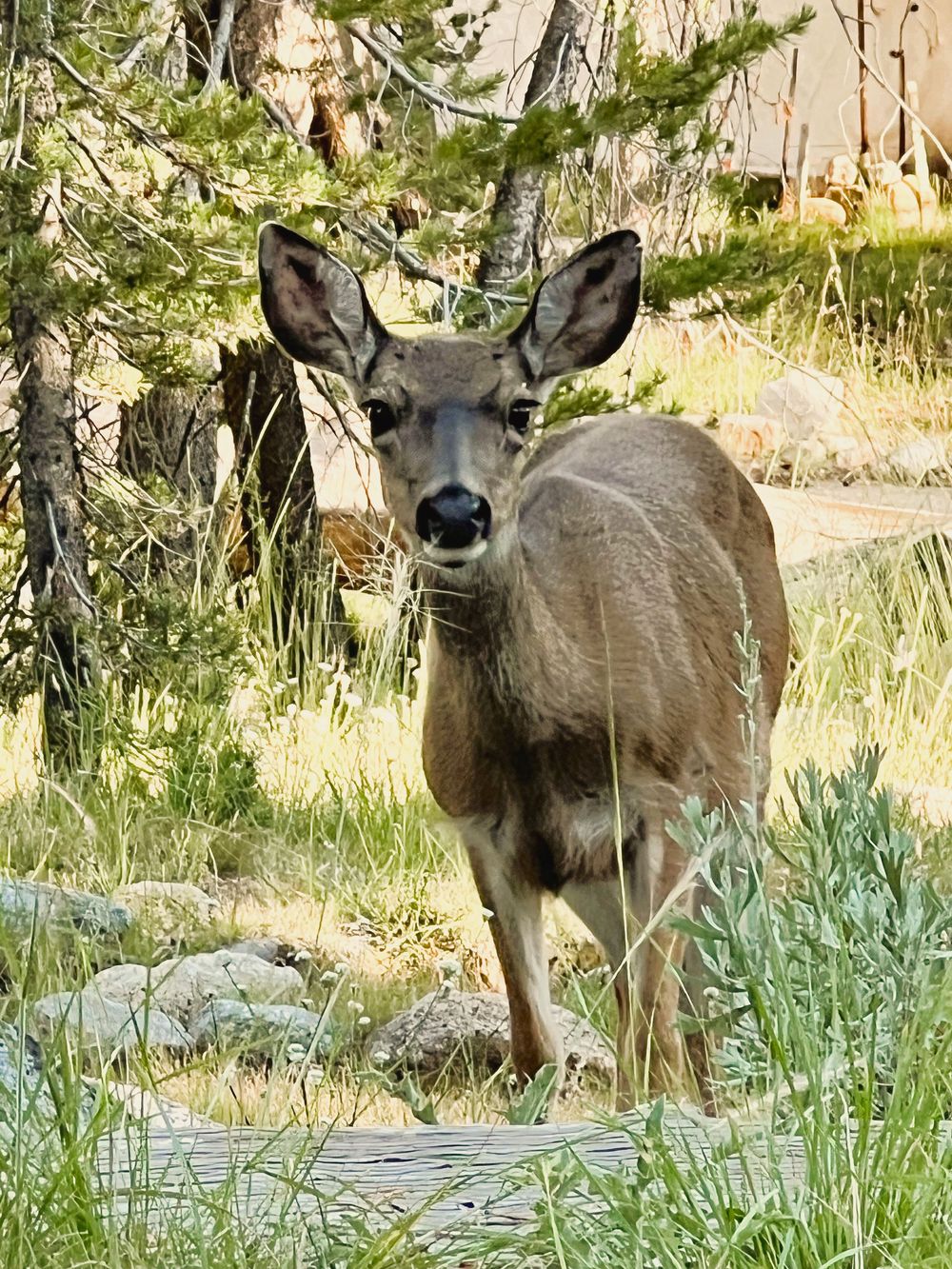
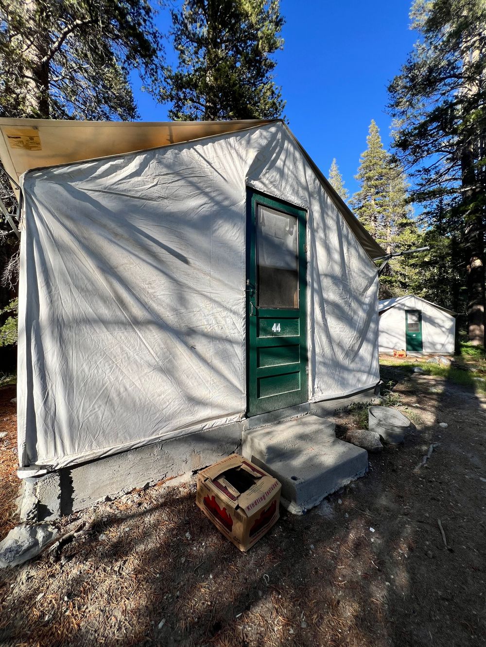
My next overnight was at Toulumne Meadows Lodge in another canvas tent. (Ha!) This one told a different story than the first. The parking and bear-proof storage was at the parking lot, implying the lowest elevation at this location which was 9,700 feet elevation. The bath house was about 75 yards away and 50' higher elevation. My tent was another 50 yards away and another 50' elevation higher. The elevation of the main lodge was 9,800 feet. It took me a few hours to realize that I was in fact not dying, but suffering with elevation challenges without realizing it. I can laugh about it now, but I really was questioning a lot of life-ending things at that point. Also on property was a big waterfall adjacent to my tent and I really enjoyed listening to the water flowing over the rocks all night. The same middle-of-the-night pee sessions were met with an advance plan. There were no quiet hours posted here, but the tents were spaced out enough that it wasn't too much of a factor. I'd also like to note that a low temperature of 42 degrees was forecast for overnight. There were sleeping bags and wool blankets in the tent, plus a wood stove with everything needed to use it. I noticed only 1 tent had a fire going. It was chilly getting out of bed, but I did fine. There was a restaurant on site here, community camp fire (a guest played saxophone for a little while, which was not traditional camp fire music, but I enjoyed it just the same). There had been a bear present earlier in the day, but the only wildlife I saw was a deer, squirrels, and chipmunks.
NOTE: in the photo below of the phone screenshot, you can see hikers going up the cables on the iconic Half Dome trail from the viewpoint of Olmstead Overlook. They are just little specks.
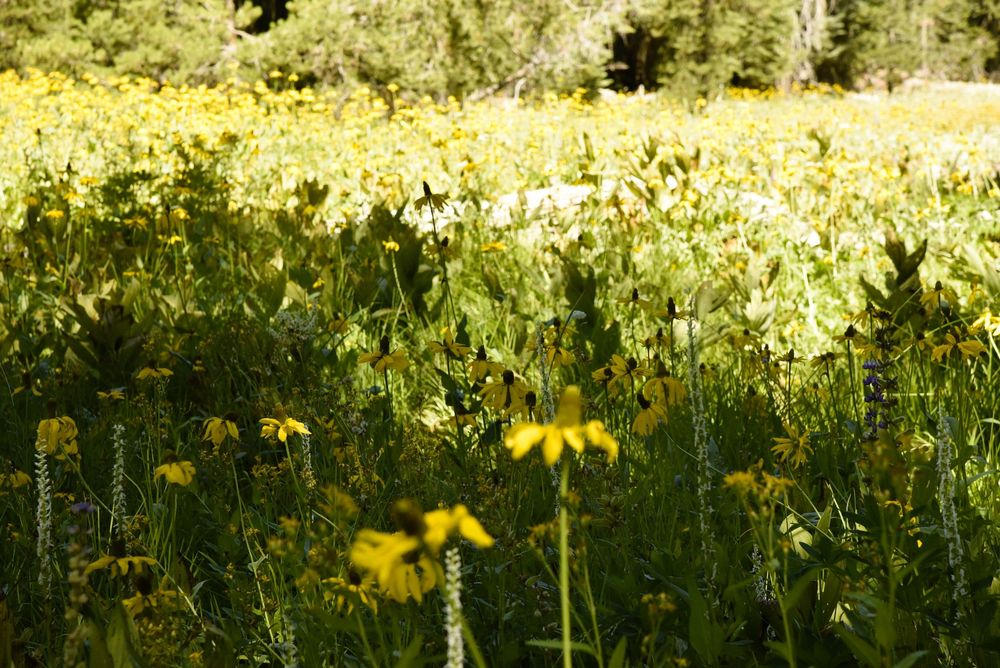
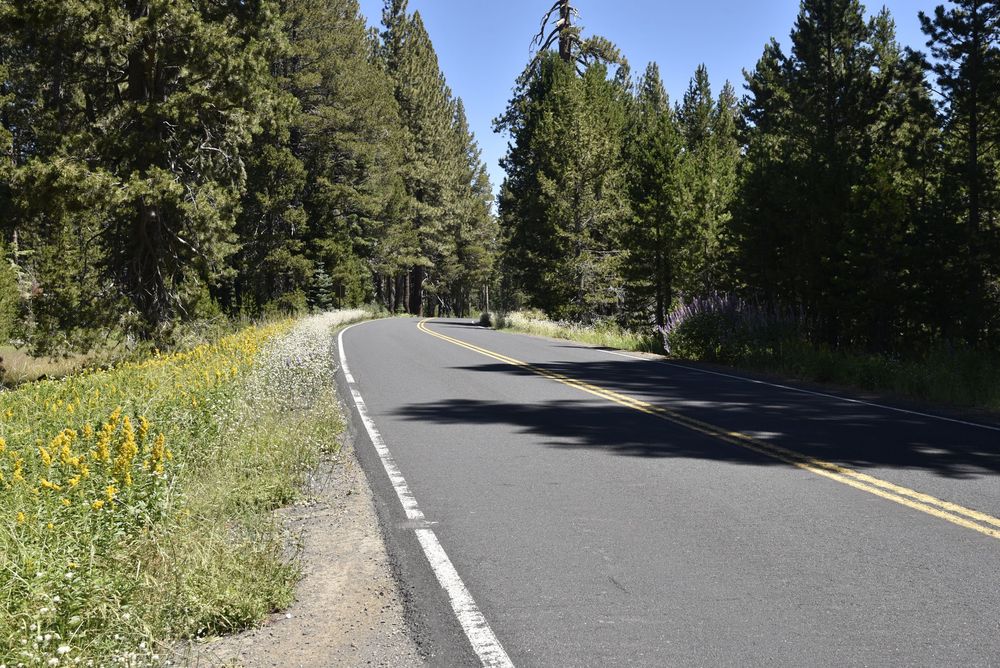
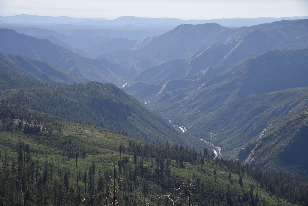
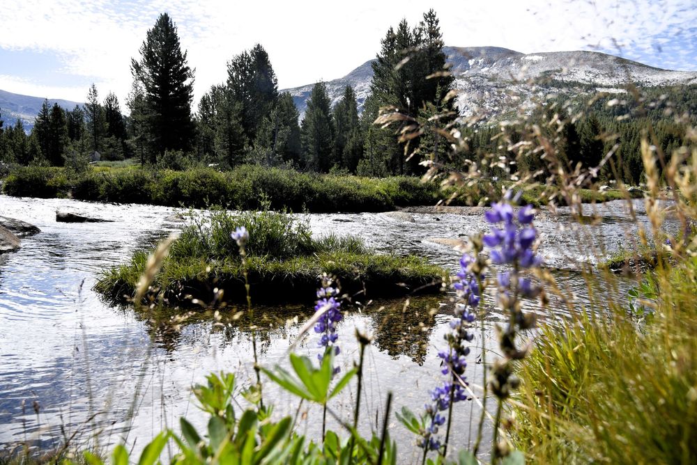
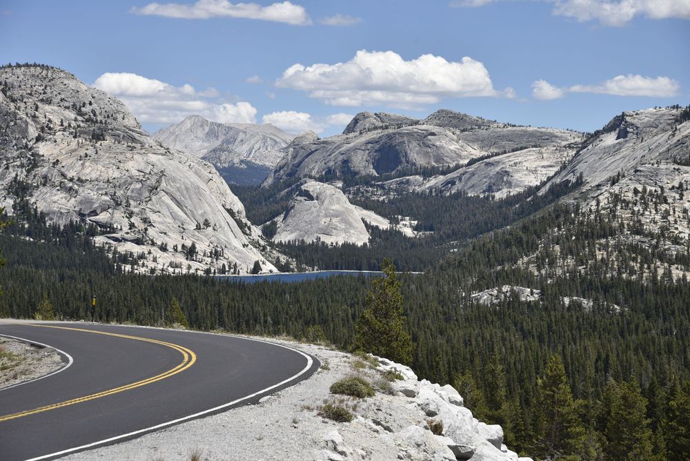
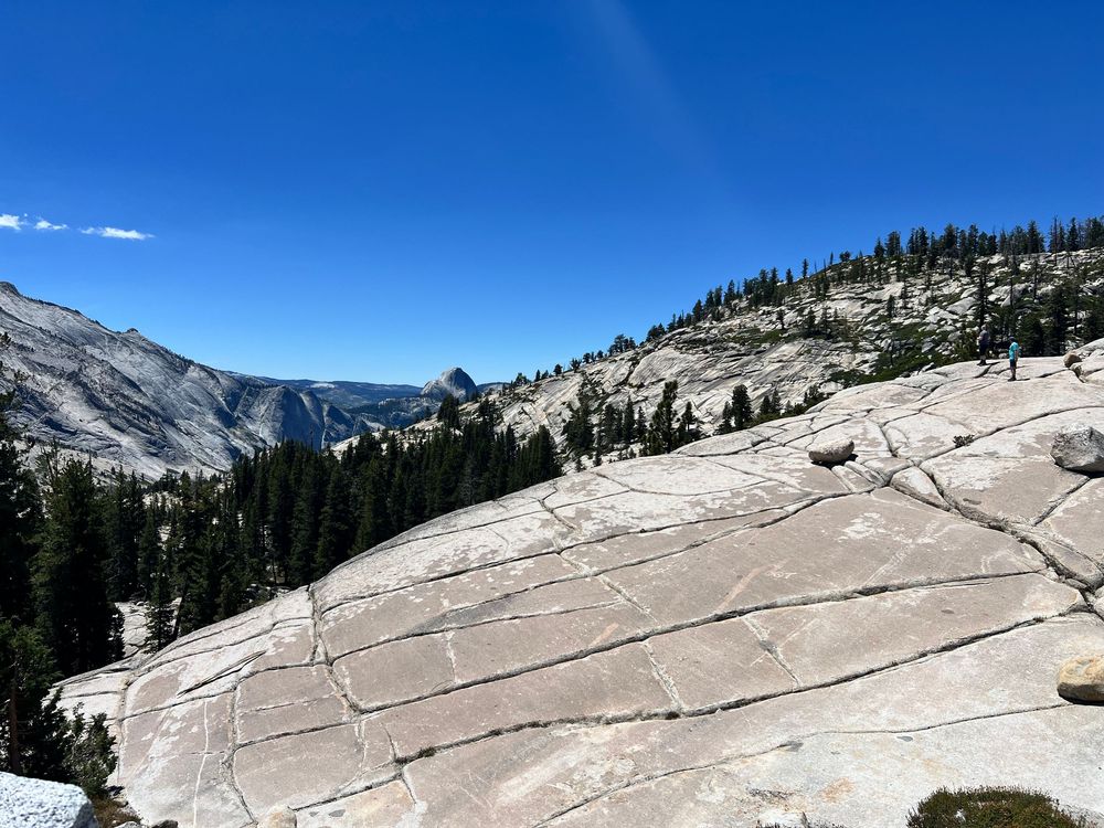
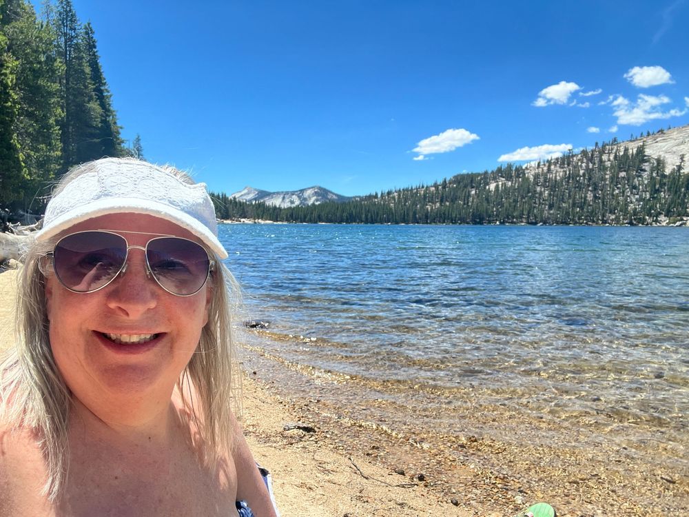
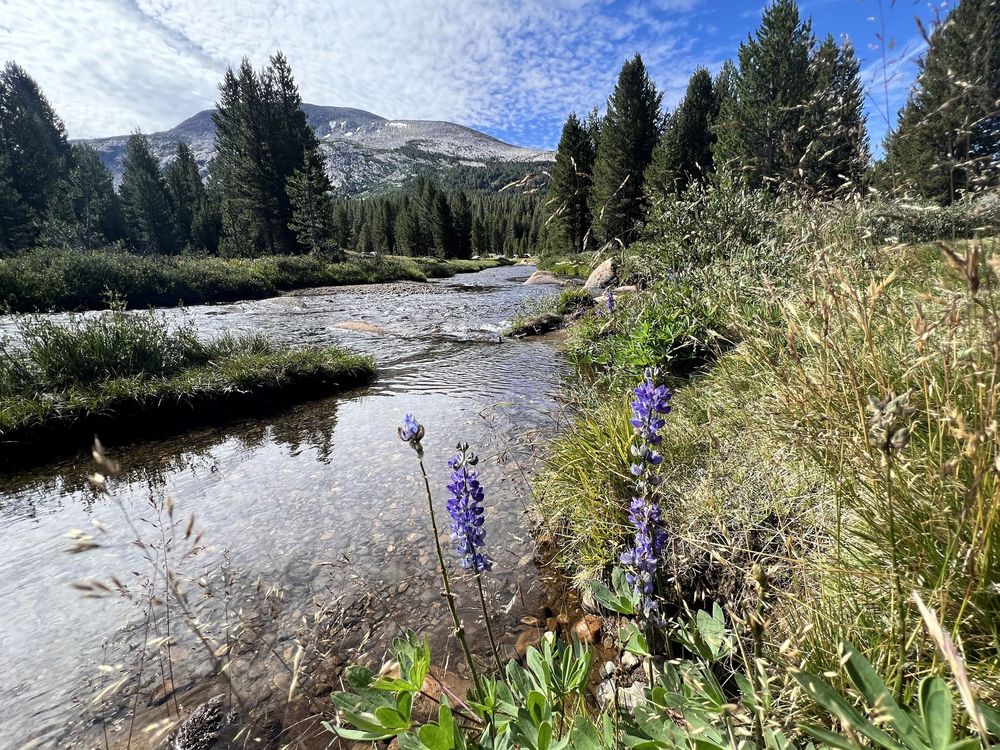
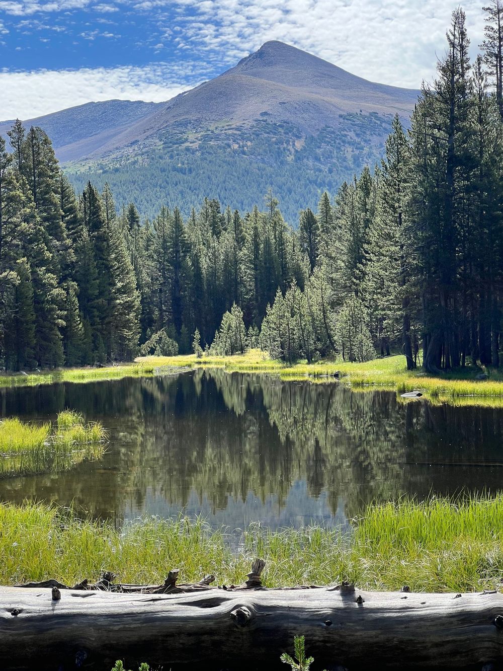
The nearly full moon popped up while I was sitting outside my tent listening to the saxophone. It reminded me of my late Uncle Durward whom I miss dearly. UDu, maybe we shared the moon again!?! The next photo ended up being one of my favorites - taken in the Toulumne Meadows area.
Sequoia National Park
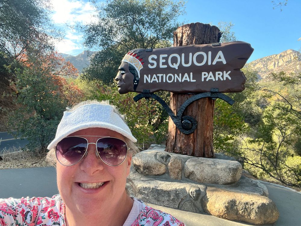
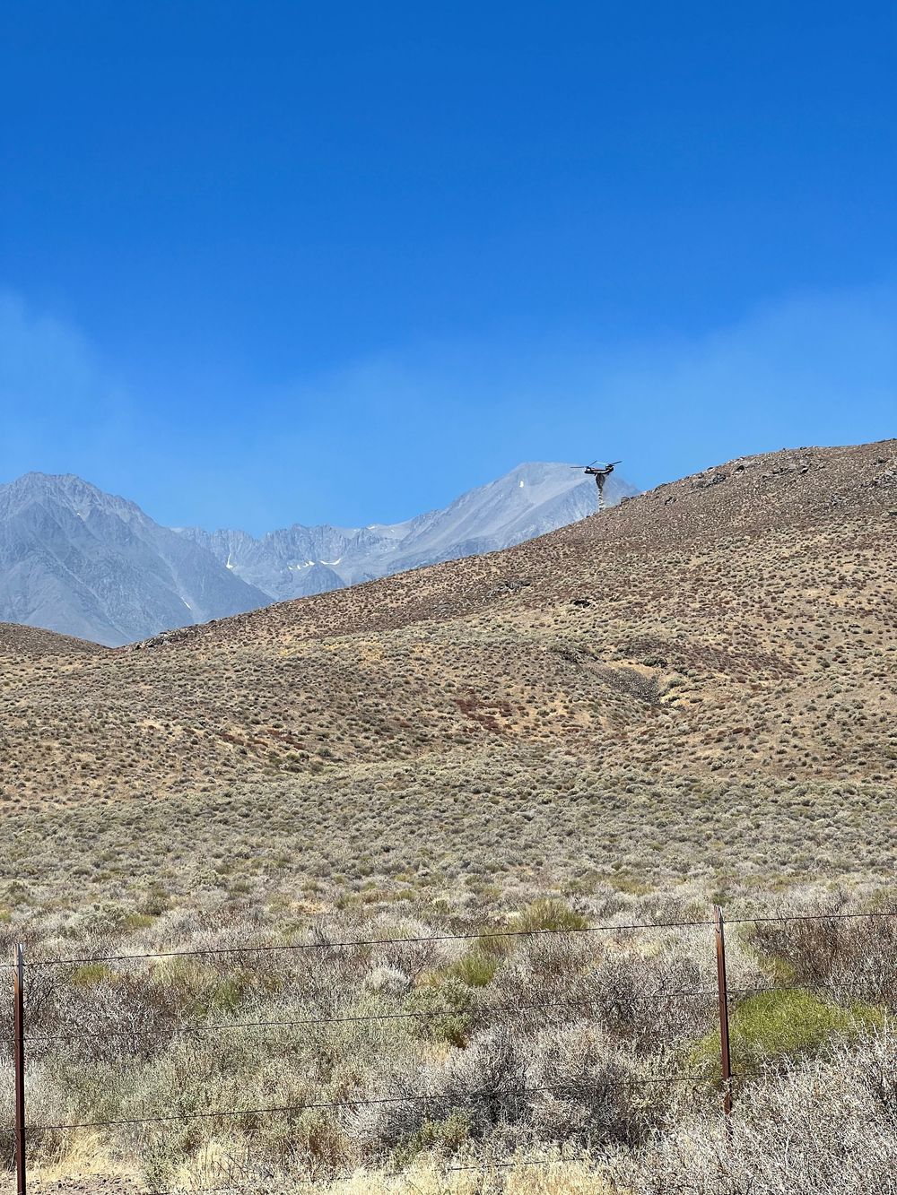
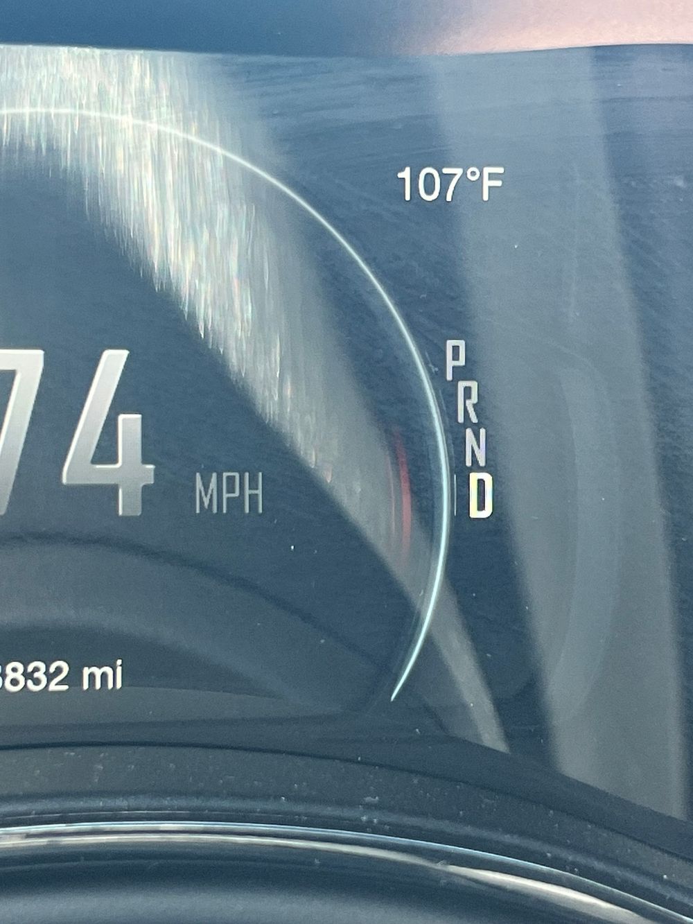
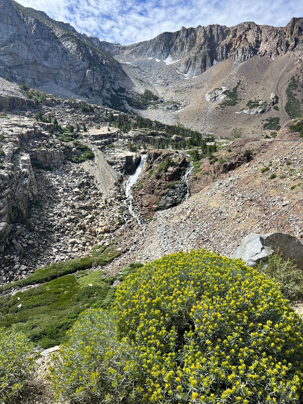
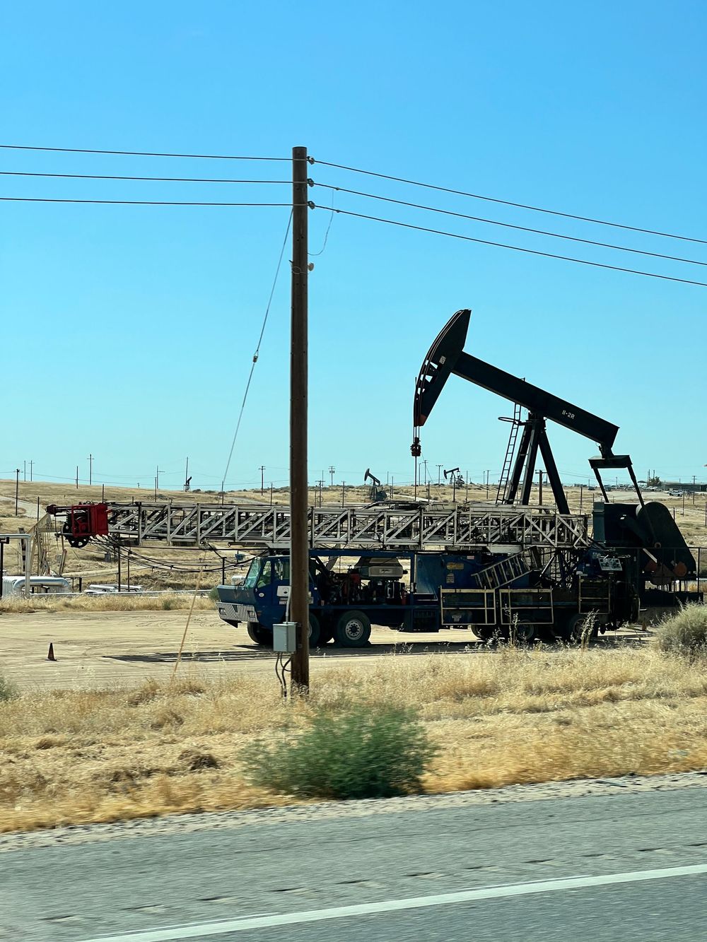
There was a full day of driving between Yosemite's East Entrance and Sequoia National Park, thanks in part to a detour for wild fires. I drove through active fires and saw numerous fire trucks (Cal-Fire!), helicopters dropping repellent and water from a nearby Crowley Lake. Also, the air temperature hit 107 degrees (Mojave Desert). I passed through the beautiful Inyo National Forest and saw the highest peak, Mt. Whitney before crossing back into the Sequoia National Forest. I switched to GPS mid-trip (regretted the decision pretty quickly) and had my first full-on, high-intensity, white-knuckle drive on Kern Canyon Road along the Kern River. The name alone should give ample description of the roadway. I still can't believe the GPS sent me that way. I've driven a lot of places, but that was a level I was not prepared for - again, death was on my mind. The road finally leveled out at the city limits of Bakersfield. A couple hours later I finally entered Sequoia National Park.
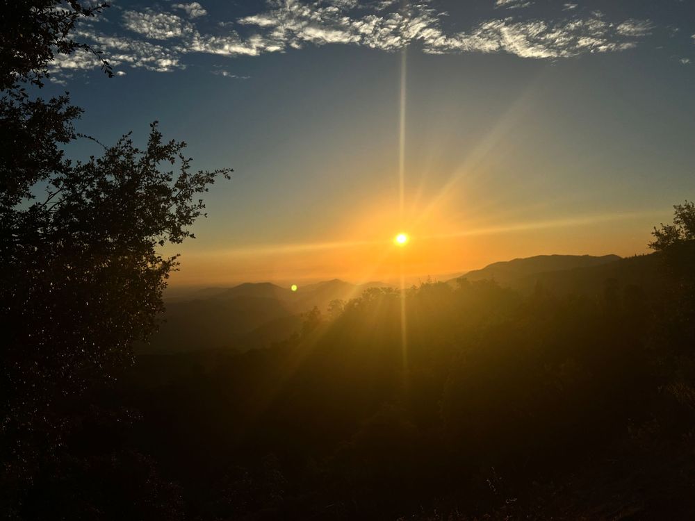
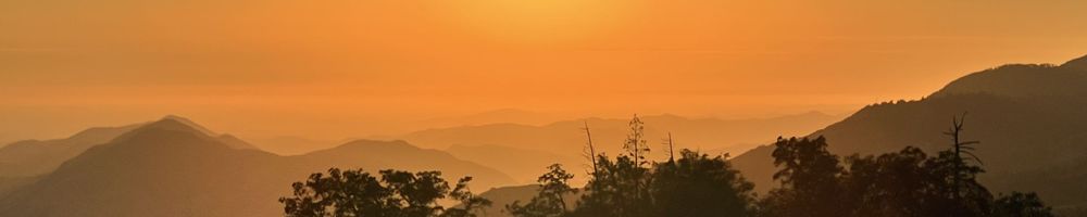
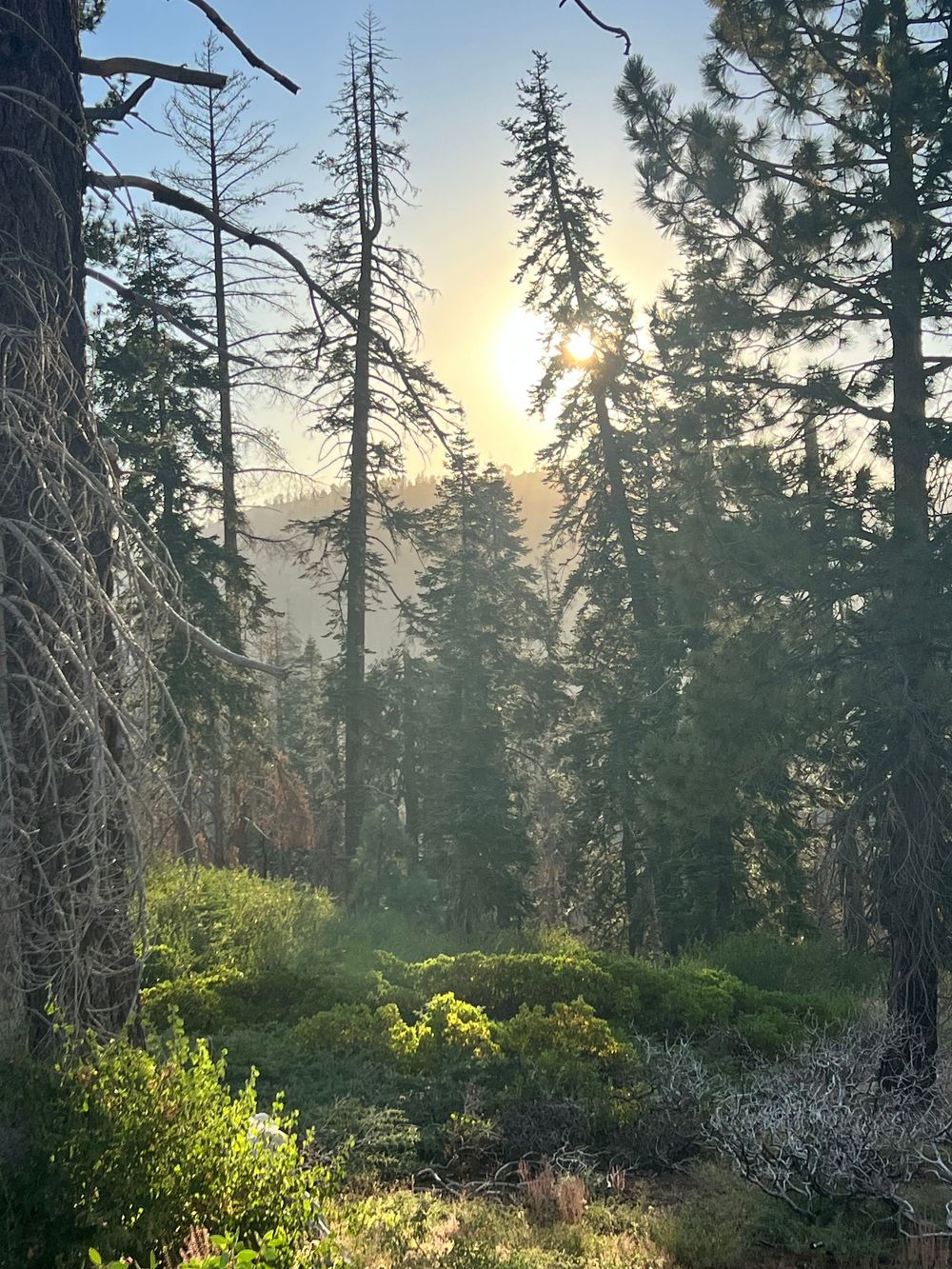
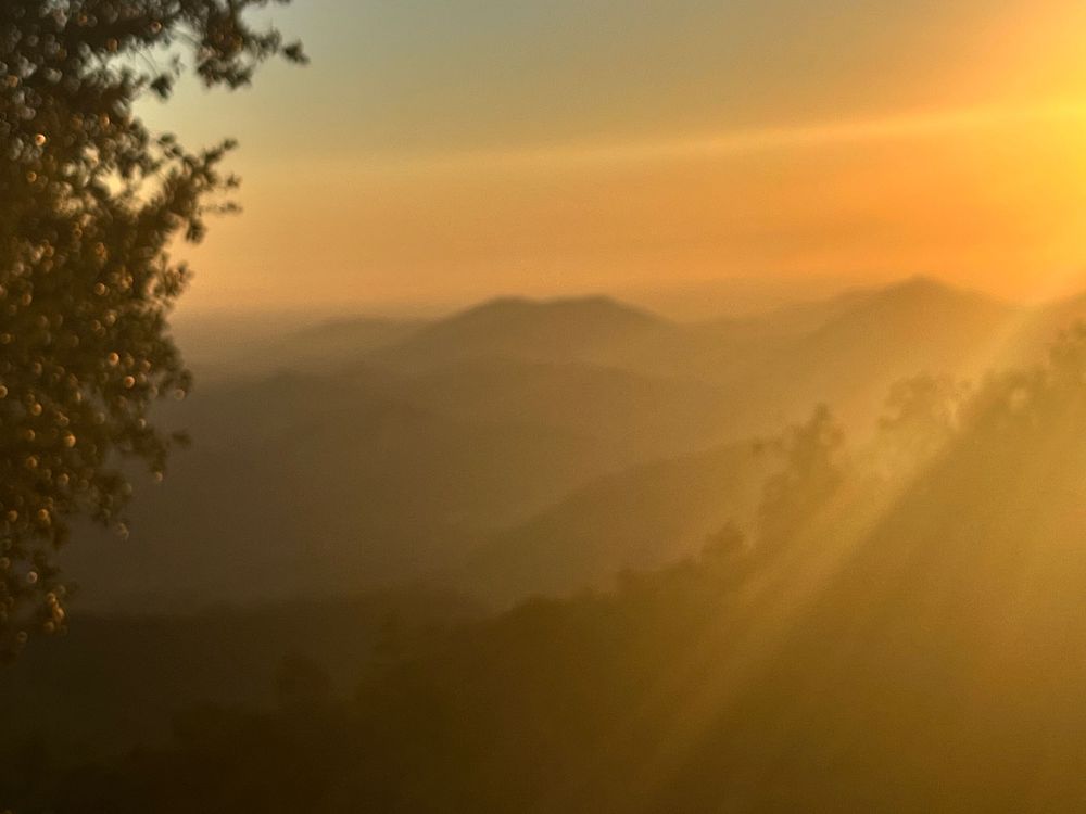
The Canyon River Road was still fresh on my nervous system, and then I had to drive up the mountain into Sequoia through Three Rivers. I wasn't prepared for this white-knuckle drive either. It was almost dusk by this point in the day, so not a lot of traffic going in (like me), but mostly coming out. That left me facing oncoming traffic taking their half of the road out of the middle. The road was reminiscent of Glacier's Going-to-the-Sun Road if you're familiar. Mostly no guardrails, narrow with no center line, and sheer drop offs on one side and jagged rock face on the other side. Note: This was the closest route back to Fresno, plus it just happened to cross through the National Park. There were some nice scenic areas here, but I didn't make time to hike or stop many places. The drive itself kicked my butt this day. The decent down into Fresno at sunset was beautiful and I did make some stops for photos. The afterglow was the best of the trip.
Kings Canyon National Park
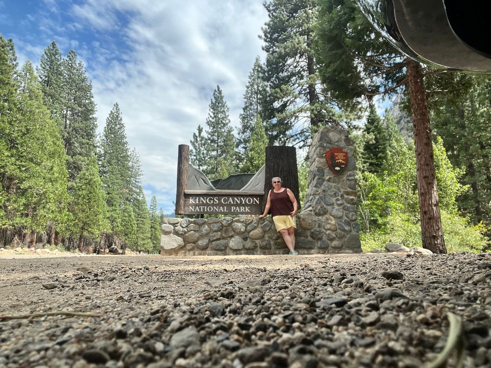
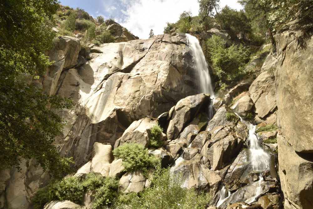
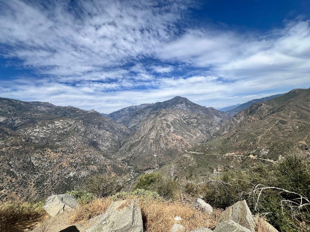
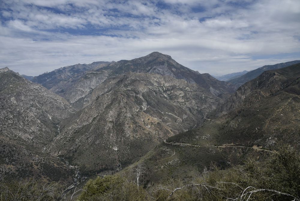
Kings Canyon National Park was adjacent to Sequoia, but instead of doing both parks in one day (like normal people), I decided to split them up. Plus I had driven 12 hours the day before and needed to rest - and sleep in a real bed. The day began kind of slow and the park didn't seem too crowded. I walked the General Grant Grove Loop first thing and then looked at the map to figure out where to go next. The park seemed small with just two loop roads and I figured I'd knock it out pretty quick. What the map doesn't show - and I didn't realize - is the loop was small on the map, but the elevation went from 8,000 feet all the way down to 500 feet to the King River at the bottom of the canyon. I guess - hence the name, King's Canyon! Again, this was another high-intensity, white-knuckle drive down into the valley that I was unprepared to take on. There were a few times I thought I would just turn around, but doing so was more dangerous than just staying on course. Again, I thought I had driven some precarious roads - but nothing, nothing at all, prepares you for THAT drive. I could see a car coming towards me in the distance, but it took nearly a minute or so to actually meet them. That's how twisty and steep the road was. No guardrails. Just drop-offs on one side and rock face on the other. No middle line. Just courtesy in the curves with inches from the edge. I drove this all the way down and then back up - so twice!
My overnight location was back in Fresno again. This was my last day driving in the Sierra-Nevada Mountains. I was surprised to not have many photos of this day, but I guess I was just trying to not die on that road.
Pinnacles National Park
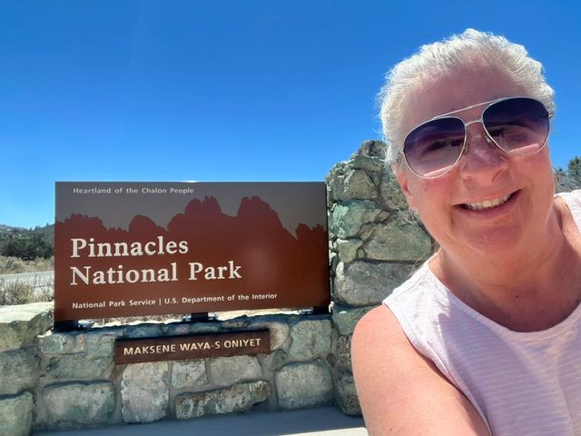
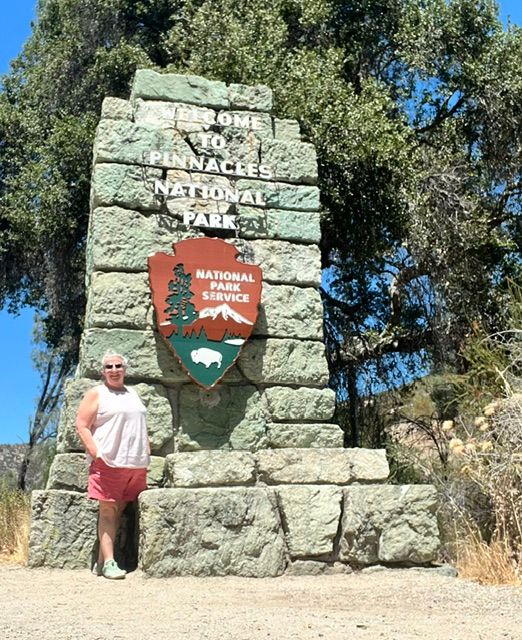
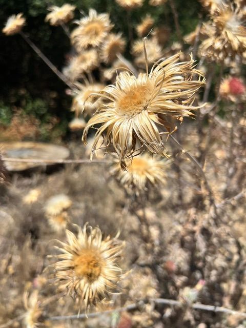
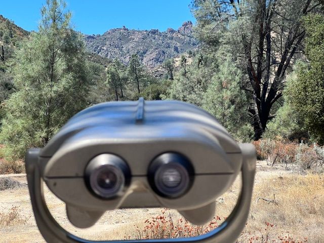
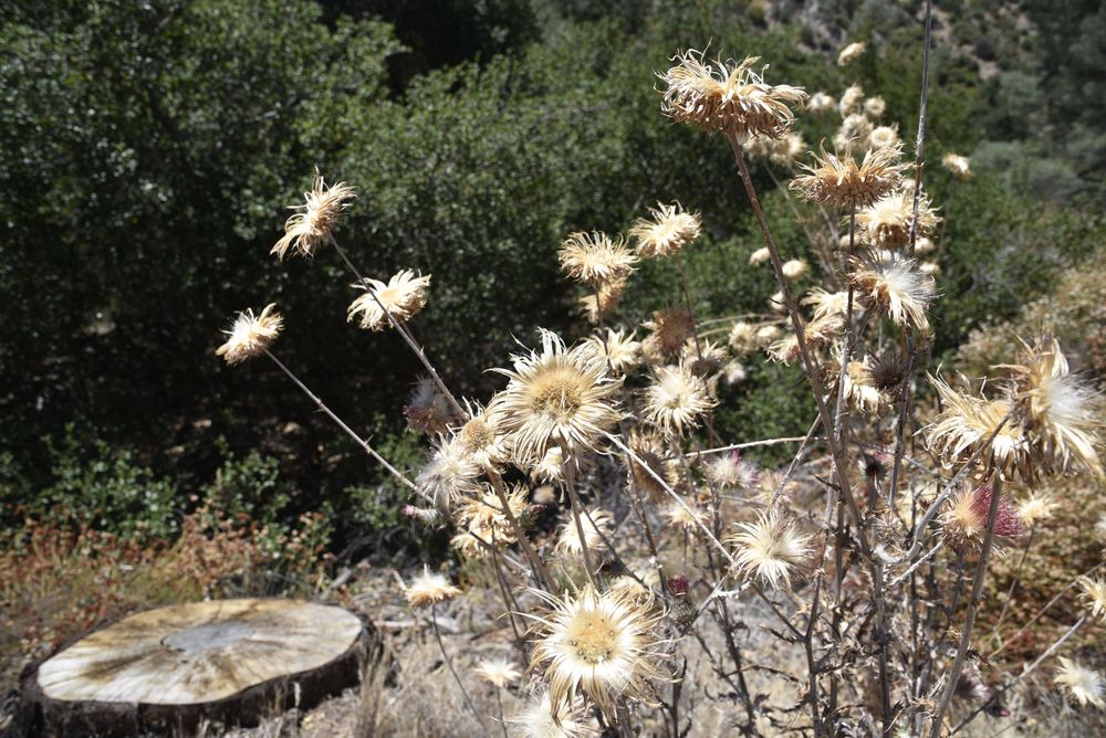
The length of the drive to Pinnacles was about 3 hours from Fresno. I'm an avid National Park supporter, but Pinnacles was a bust. I visited the East Side in the heat of the morning. I finally realized the rock formations on top of the little mountain were "The Pinnacles" and you had to hike to see them. Maybe I was let down because of the enormity of where I had just been? I'm not sure, but I can say that I drove the loop on the East Side, stopped twice for photos and was out of the park within 30 minutes. I've been there just to say I've been there. Note: my hair looks extremely white in the photo below...lol. The secret's out - I'm more white than grey these days.
Driving West to the Cali Coastline
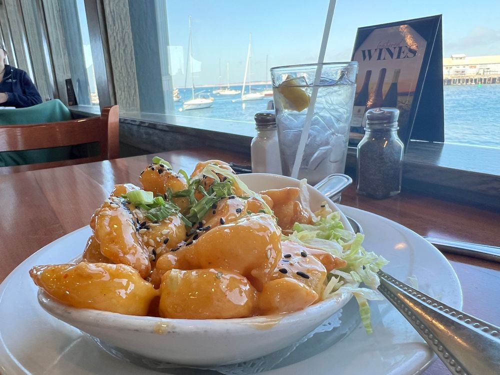
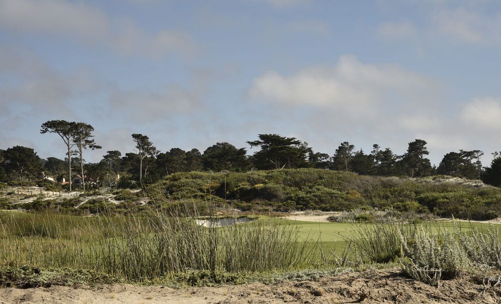
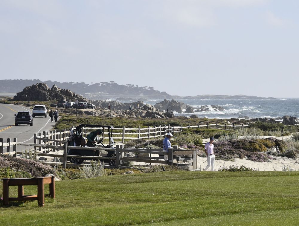
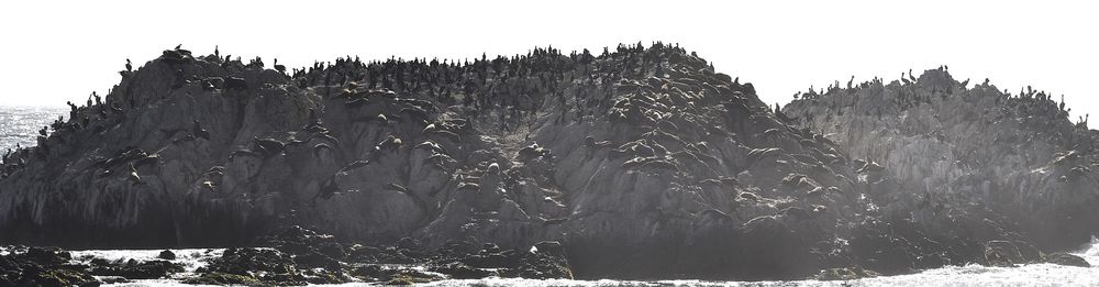
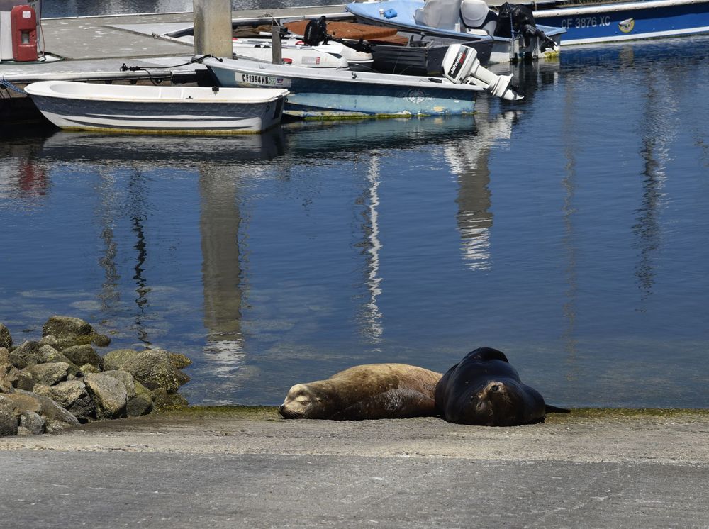
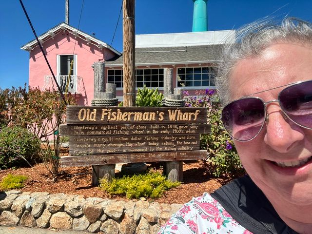
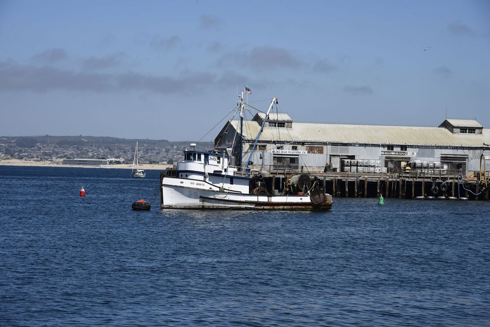
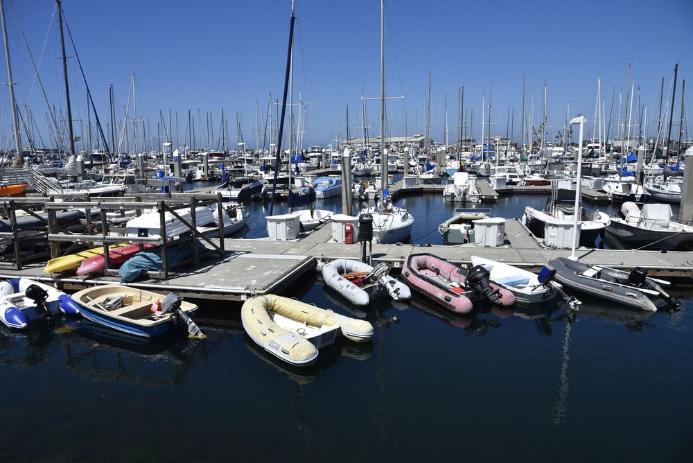
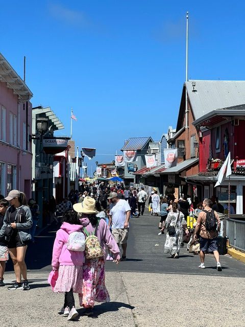
After several hours of scenic agricultural landscapes (pistachio trees, walnut trees, and avocado orchards I finally reached Rte. 101 and the famous Rte. 1 Business along the Pacific Ocean. My first stop was Monterey and the Old Fisherman's Wharf. Oh wow, did I enjoy this area! I was just in time for a seafood lunch and walked along the harbor and boardwalk. And oddly, it was chilly here, 72 degrees, compared to the triple digits from several days prior. I saw and heard seals and sea lions hanging out. After lunch I drove over to Pebble Beach Golf Course where they have a public 17-mile scenic drive. I met a young man working the gate who was from Hendersonville, NC. He said his grandparents still live there. So, shout out to my NC friends if anyone has a grandson working at Pebble Beach, he sends a friendly 'hello'! Sometimes the world is very small.
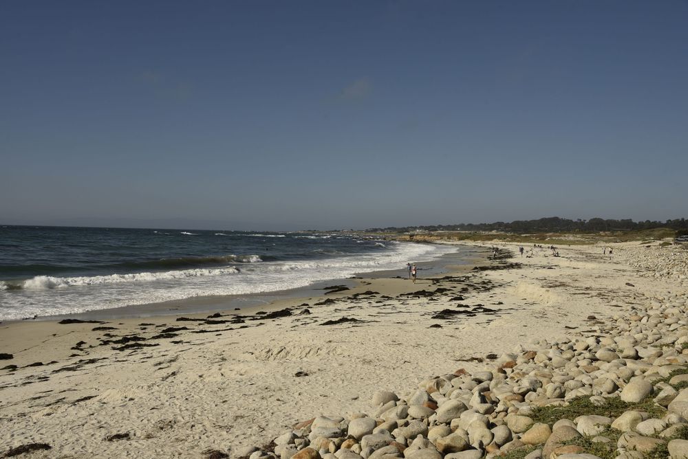
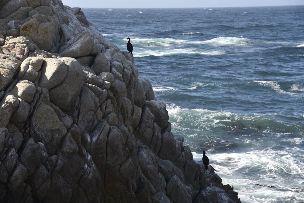
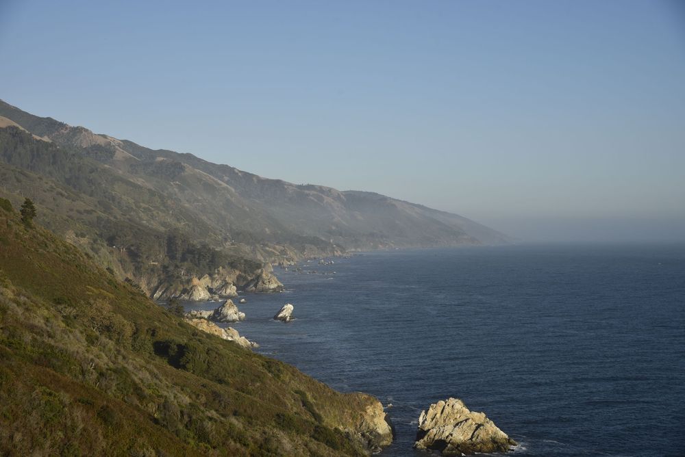
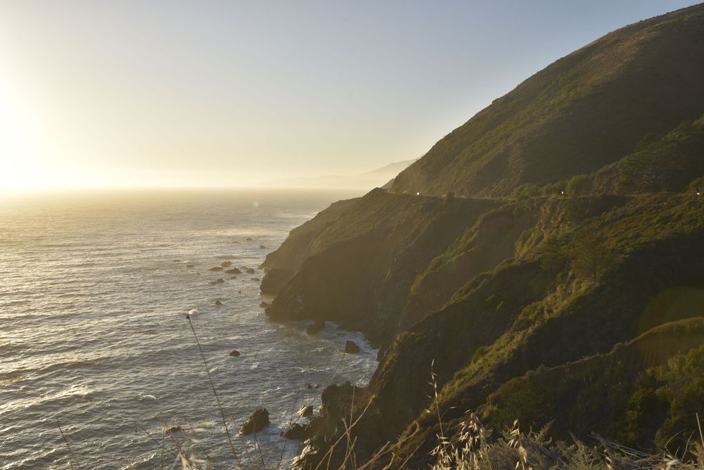
My time on the Coast was short, just two nights. The sunsets were gorgeous, the food delicious, the wildlife plentiful, the drive was mildly white-knuckle in spots, and my soul was happy. I slept the best here than I've slept in months. It was just what I needed. I love the mountains, but apparently I needed saltwater, peace, and several days of alone-time driving. I stayed in the community of San Simeon (no, I didn't visit Hearst Castle) before driving back to Fresno to catch 3 flights home with the middle one being an overnight to Charlotte. Final flight to Asheville landed at 8:20 am. Back to work by 8:45 am - and the grind officially continues.
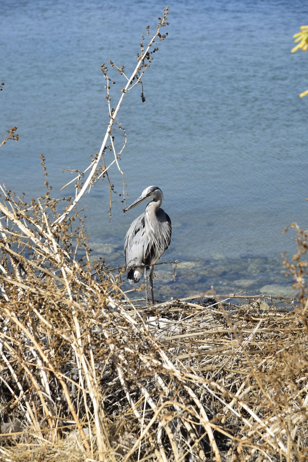
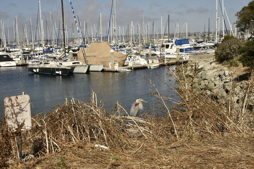
Note: The seals at the bottom are elephant seals and there was a colony beached just a few miles from my hotel. And of course there was a blue heron on my path. The elephant seal may be my new spirit animal. They had a big ol' cuddle puddle happening. (Ha!)
That's a Wrap!
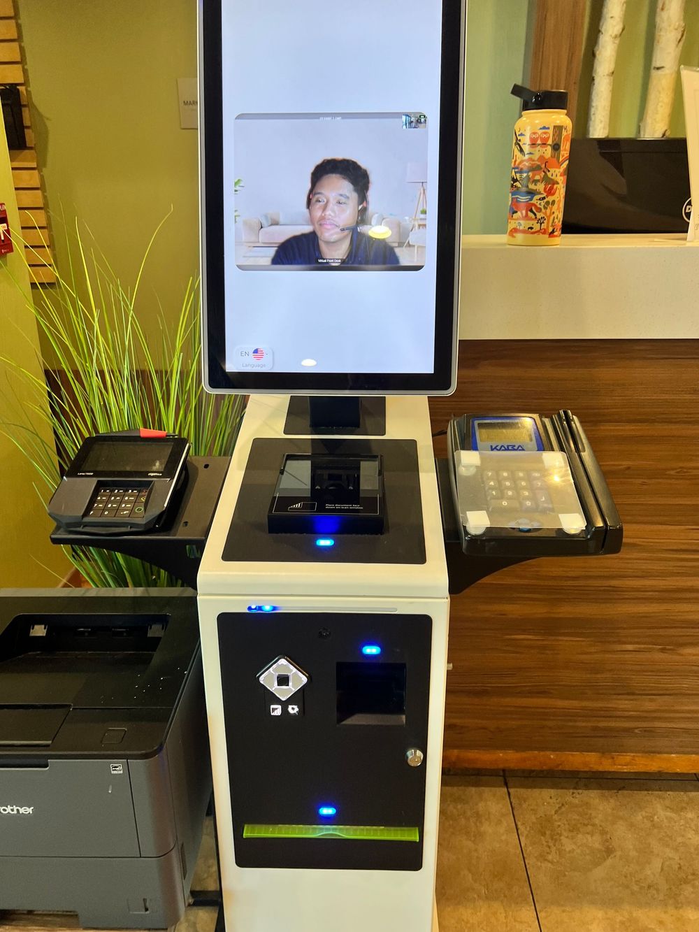
The funniest thing during the trip was checking out of my hotel in Fresno where I was greeted by a machine with a "virtual" person on the screen. There were no employees at the desk and my receipt was emailed. Dude was working from home, checking out guests from multiple Wyndham locations. I guess it's the path of the future for streamlining operations. Note * he did consent to me taking his photo to share.
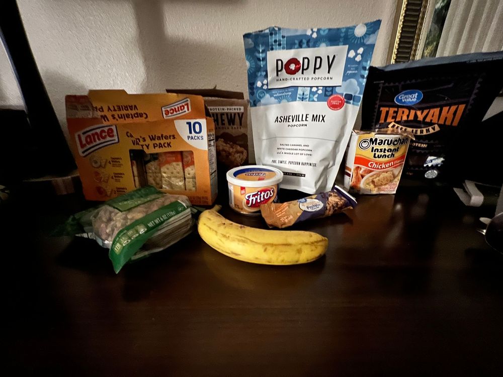
I'll post a photo of my one meal out in a restaurant (at The Wharf) for Firecracker Shrimp. Everything else was was travel food (ramen, tuna, nabs, protein bars, cold sandwiches, popcorn, etc.)
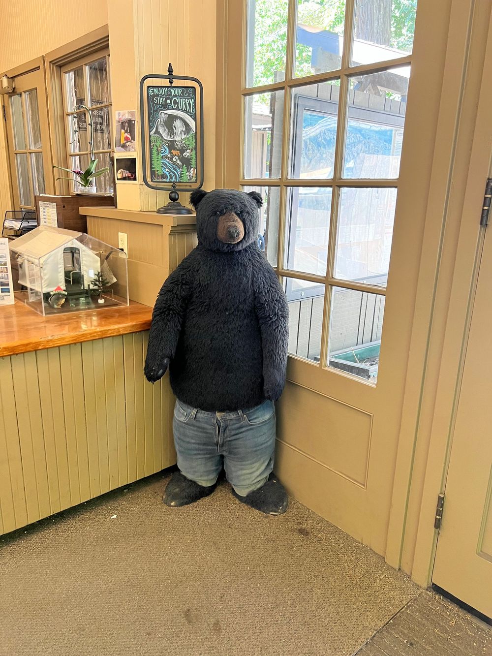
Only one bear sighting the whole time - photo below! All photos within are copyrighted 2026 by Lisa Hale Photos and if sharing, please share the entire blog. The images are a combination of Nikon D750 and iPhone 13 Pro Max all taken by Lisa Hale.
Thanks for following along! Until next time....safe travels!
Contact me for ALL your travel needs with booking and planning: LINK
If you're looking for activities and tours anywhere in the World, consider using my Viator affiliate link: HERE
Blog and Website powered by Pixieset. Join with my link: HERE
Love you all,
Lisa